
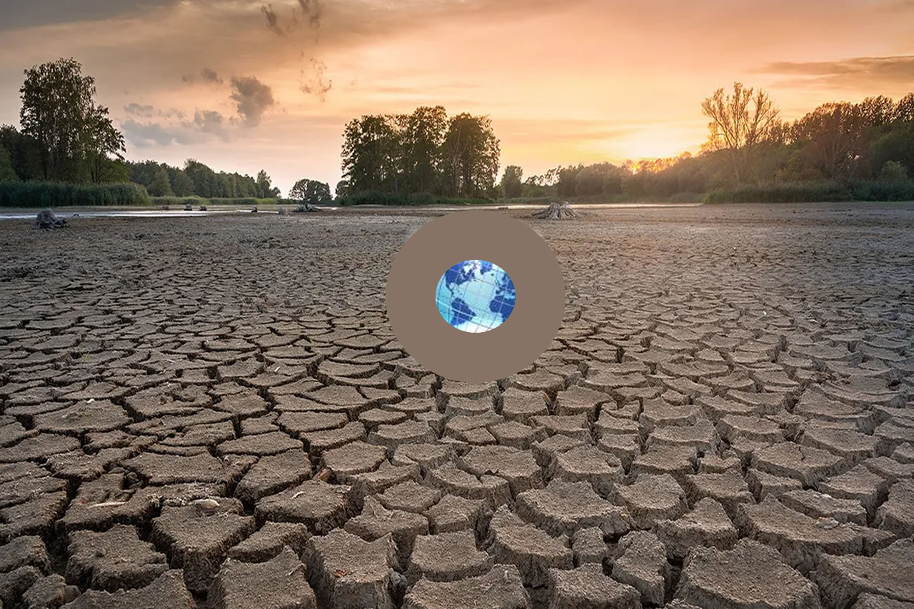
The world is already experiencing changes in average temperature, shifts in the seasons, an increasing frequency of extreme weather events, and slow onset events. The faster the climate changes and the longer adaptation efforts are put off, the more difficult and expensive responding to climate change will be. Read more . . .
:
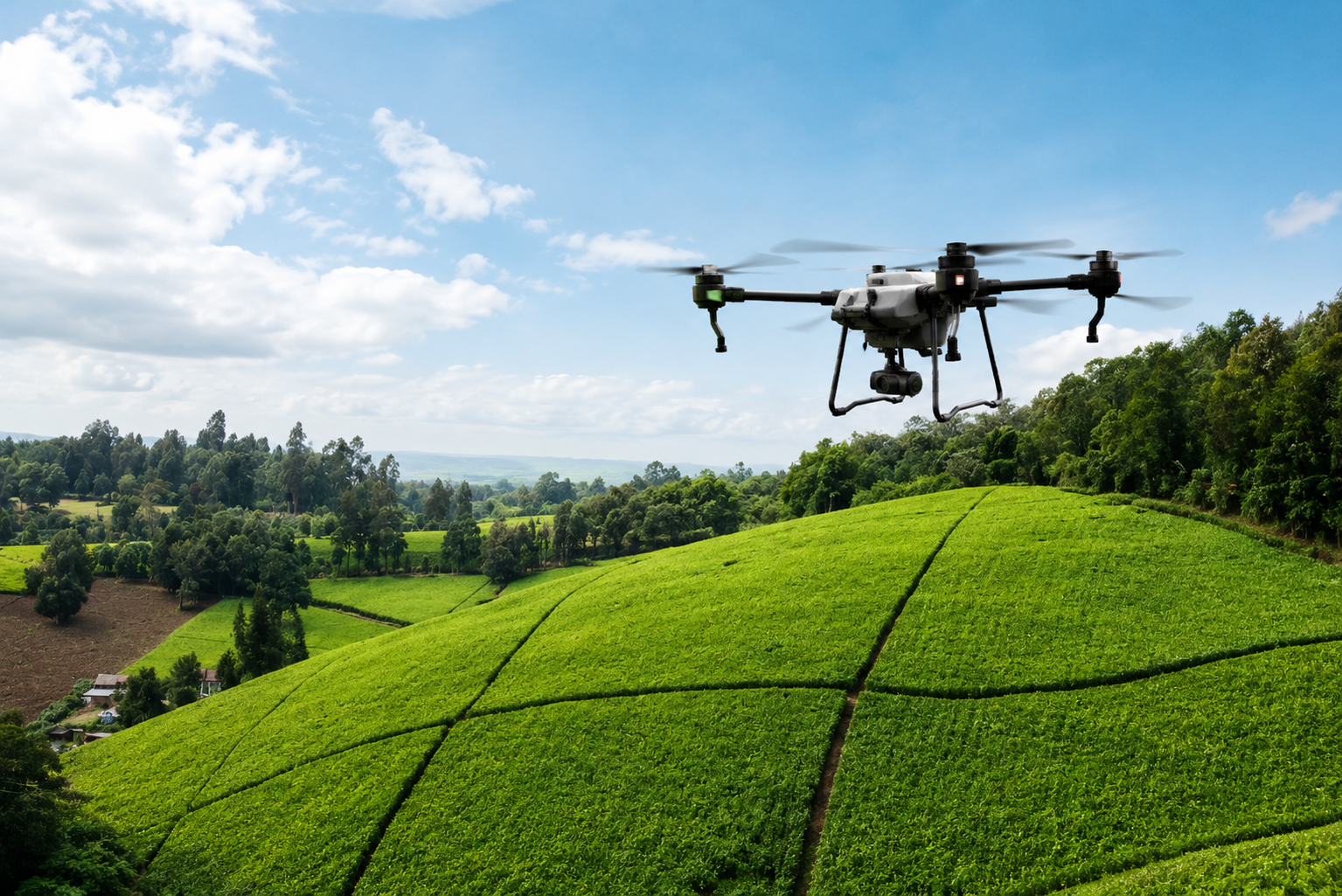
Clean energy has experienced a massive growth in popularity in recent years as a number of the largest economies look to reduce their reliance on high-polluting fossil fuels amid the energy transition. Read more . . .
: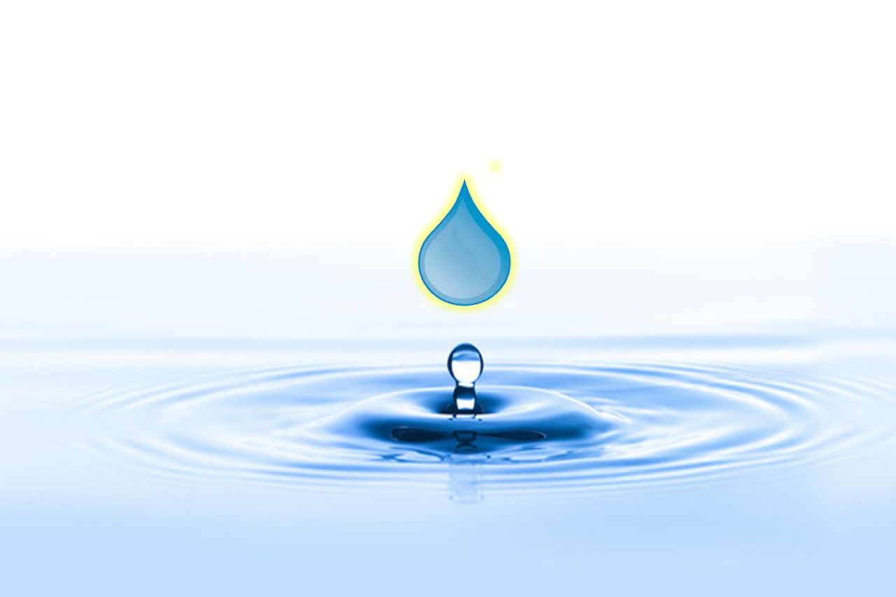
Today, most countries are placing unprecedented pressure on water resources. The global population is growing fast, and estimates show that with current practices, the world will face a 40% shortfall between forecast demand and available supply of water by 2030. Read more . . .
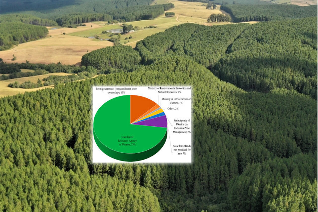
Life it its diverse form cannot thrive without forests, and more so, forests in their rich biodiversity. That is why we have developed various measures to sustain their existence. ERMIS Africa appreciates that through Sustainable Forest Management approaches, society must concomitantly maintain forest biodiversity, productivity, regeneration capacity, and vitality, as well as forests' potential to fulfill a wide range of functions and services.Read more . . .
Whereas, Institutional Strengthening has a broader perspective. It aims to improve the overall health, structure, and functioning of the organization. This includes improving governance, policies, procedures, and all the internal systems of the organization. Read more . . .
: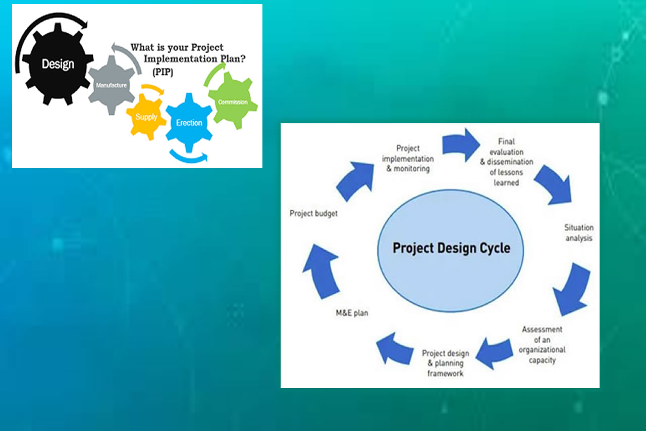
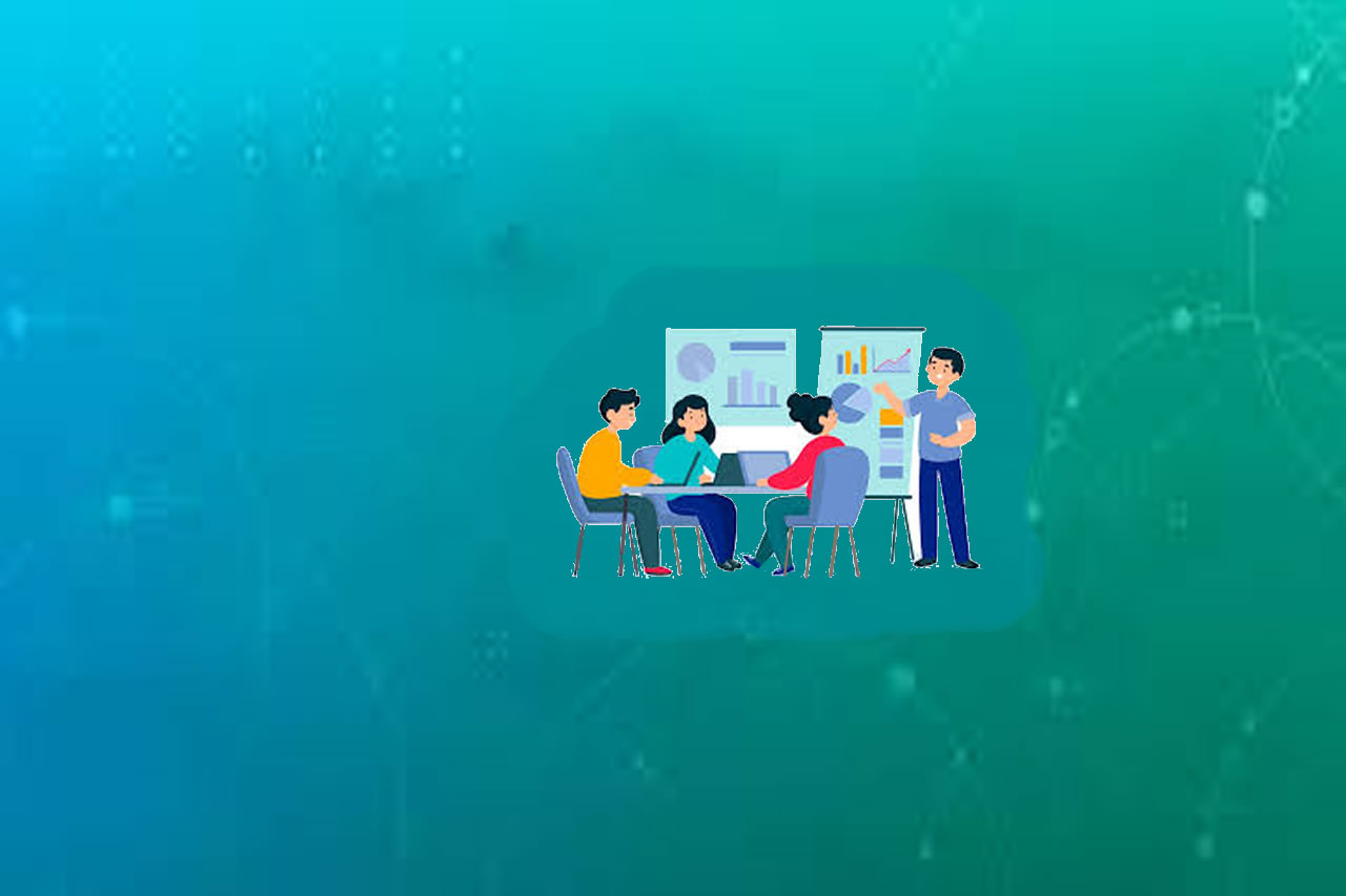
Project management includes planning, organizing and executing the work to meet specific goals. Strategic planning is the first step in achieving project success, and it's an important component of every successful project. Read more . . .
: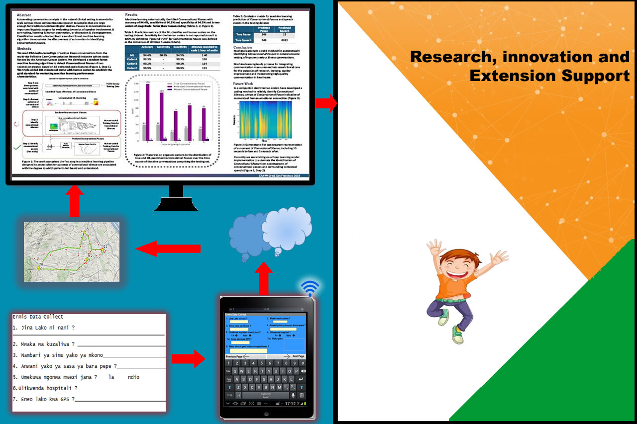
Research and Development (R&D) and Innovation is the process of developing and commercializing new ideas, implementing new processes or changing the way your business makes money. It can also be viewed as the activities required to keep your business competitive and sustainable for the long term. Read more . . .
: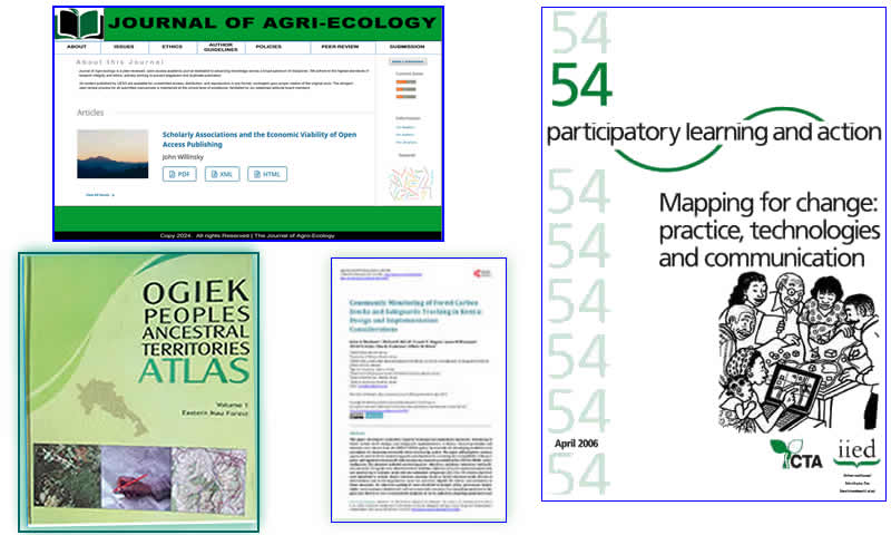
One of the cornerstones of academia is archival journal publication. Publishing provides a communication channel for researchers within a field, a repository of important research efforts, and a recognition mechanism for Read more . . .

Who we are
ERMIS Africa provides technical support services to institutions to improve their effectiveness in development services across Africa and Southern Asia. Since 2007, the institution has successfully provided cutting-edge technical support services in various development themes to over 400 organizations.
Quick picks
OUR SERVICES